Several (but not all) types of Land Surveys
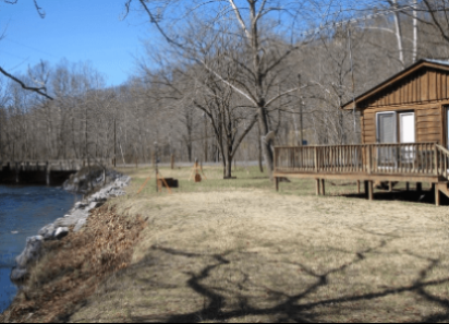
Original survey, resurvey, or retracement of public lands within the Public Land Survey System of the United States for restoration of property lines.
LEARN MORE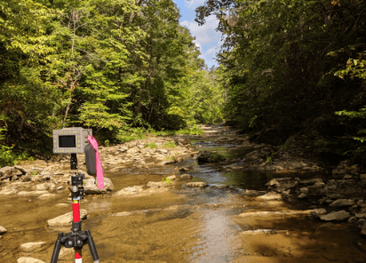
A boundary survey establishes the true property corners and property lines of a parcel of land. Boundary surveys are typically performed to obtain building permits, to resolve with old or dated descriptions of a parcel of land.
LEARN MORE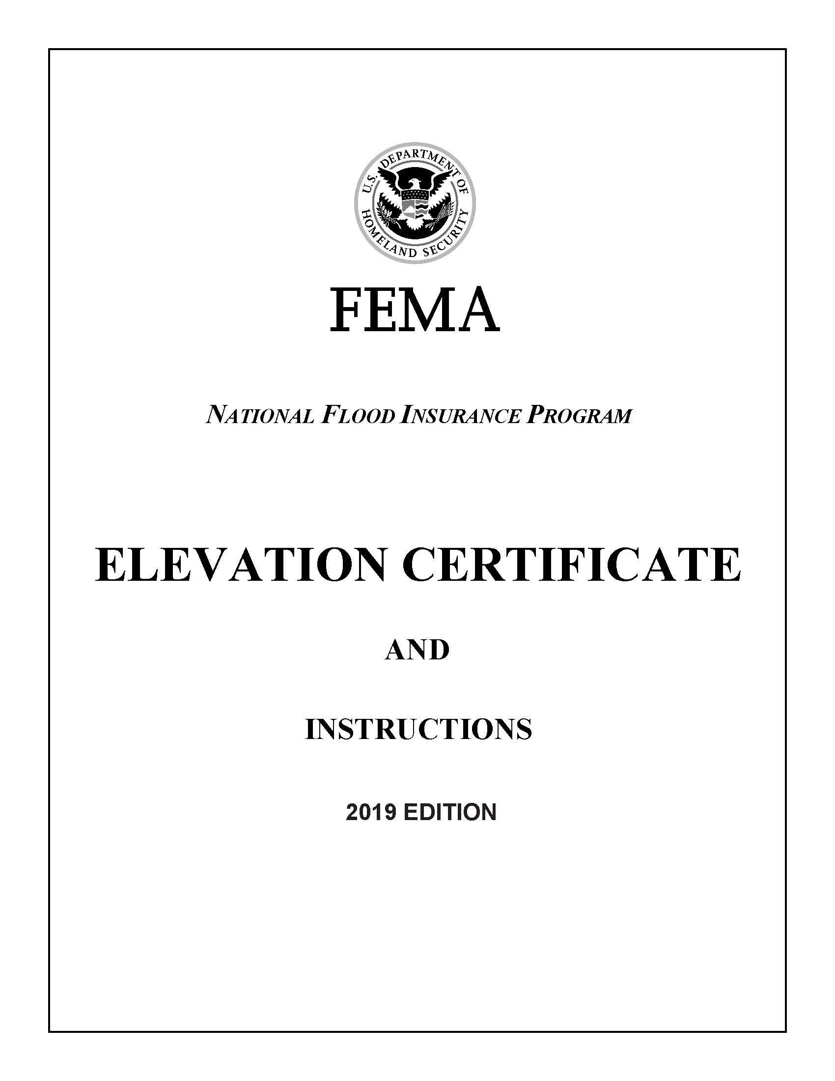
Elevation surveys determine the elevation of various sections of a building or land. Typically these are used to aid in building plans and to determine if a property is in a flood zone.
LEARN MOREAlso known as a Family Subdivision Plat, it is the subdivision of a tract of land into smaller parcels, for immediate family members, showing monumentation and mathematical survey data on a map, conforming to local Government (usually County) ordinances
LEARN MOREWe utilize a drone to fly many our projects. This data allows us to create a 3D point cloud of the area and extract horizontal and vertical data. We also use conventional surveying equipment to locate area that are obscured from drone or GPS methods. Here is a recent video of a flight over our office and orthro photo produced from our drone flight data.
LEARN MOREWe have partnered with JAVAD GNSS to become a dealer for their equipment. We whole heartedly trust this equipment and use it daily in our company. If we did not think the equipment was accurate and industry leading we would not have agreed to become a dealer for them. Please visit their website for more information on this incredible GPS/GNSS technology.
LEARN MORE

Chris Pappas has been in the surveying industry for over 28 years. Starting in 1992 straight out of high School he worked for Mr. Douty for a summer and found his profession. Chris then went to New Mexico State University (one of the few colleges at the time to offer Surveying) and got his Bachelors of Science in Surveying, graduating in December of 1997. He stayed in New Mexico and worked for various surveying firms, including working for the New Mexico Department of Transportation. He got his first Surveying License in NM in 2002. Seeking opportunity and after having kids he decided to return to VA and start his own business. He got his VA surveying license in 2004 and started his own branch of Green Forest Surveying in Blacksburg VA. He then returned to New Mexico to work for the New Mexico Department of Transportation again, this time as the Manager of the field crews for the main office in Santa Fe. During his time there he helped implement many changes to the operation of the department's field crews. Updating equipment and procedures to help keep the NMDOT up to date with the state of the surveying profession. He returned to Green Forest Survey to partner with Steve Douty at Green Forest surveys, LLC. He now lives in Fairfield, VA and has been President/CEO at Green Forest Surveys, LLC since April 2019.

Steven P. Douty, L.S., has been in the surveying business since 1968 and is a licensed land surveyor in the states of Virginia, North Carolina, West Virginia, Tennessee, Arkansas, and Mississippi. He holds a B.S. Degree in Civil Engineering, is trained as a mediator and holds Geographic Information Specialist (GIS) as one of his titles. Steve is also a member of the National Society of Professional Surveyors (NSPS). Mr. Douty held the position of State President for several years at the Virginia Association of Surveyors, he is also a founder and charter member of the Virginia Association for Mapping and Land Information Systems. Steve also performs frequent discussions on land surveying topics where he provides continuing education lectures and seminars for the Professional Surveying Societies of North Carolina, Maryland, and Virginia.

Office:

Address:
P.O. Box 121
Fairfield, VA 24435
Land Surveyor Residential, Commercial, Government Surveys
Hours of Operation
Monday……………………8AM – 5PM
Tuesday……………………8AM – 5PM
Wednesday………………8AM – 5PM
Thursday………………….8AM – 5PM
(Friday - Sunday by Appointment)